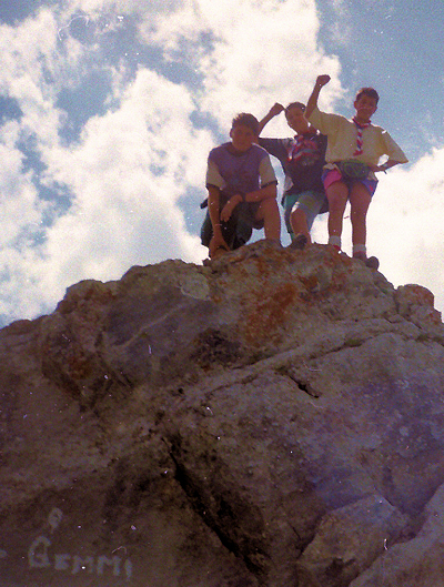
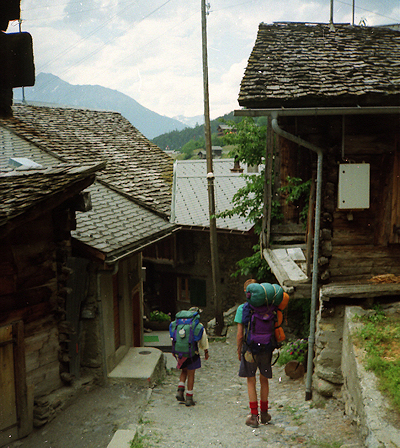
Arrived Kandersteg station completely shattered. Set off for campsite again, took the short cut to the chalet where we first met Tony and
asked him to take a photo of the explorers returned (that's us!). Then we met Dorothy who made us lots of toast and tea (we ate more then than we did in the whole expedition put together, thanks to Alan's generosity!).
While we filled ourselves with toast Tony explained how party B (led by the master of map-reading Jon) managed to mess up their expedition completely.
Log of party B's mess ups
1. They had Jon as their leader.
2. It took them 3 hours to find their campsite.
3. Because of the two above reasons they did not complete part of their expedition which they should have done after setting up camp.
4. Jon and Philip managed to get lost on their way back from the Kandersteg cable car station (you could see the campsite from there), they managed
to end up in an army base and got a lift back to the campsite.
Jon's list of excuses for not finding their hike campsite
1. They moved the campsite.
2. The campsite wasn't on the map (how did Andy know about it then?).
3. Due to the magnetic deviation caused by a nearby sign post saying "Campsite lOmins ==>" their compass bearings were 0.00000121 degrees out and so they missed the footpath leading straight to their campsite.
n.b. Enough taking the mickey out of party B (it's so easy though, isn't it?).
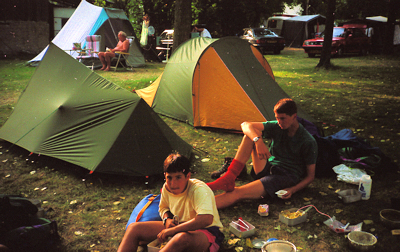
After hearing the news we all fell about laughing and made our way slowly back to the campsite. David had a dream about everyone being there to welcome our return with fireworks, presents and Dinner. "Oh your back then" was the greeting we got from Chris. So we had completed our Chief Scouts Challenge Expedition and our reward was to cook dinner for ourselves
and "the scout. leaders (as we always do because they're about as good at cooking as Jon is at map-reading). We would like to personally thank Alan for the extreme generosity with the food and don't forget the tea bags.
We took the mickey out of Jon a lot, none of it's personal but unfortunately it's all true.
Thanks for reading!
SWITZERLAND 1993
Born in defiance of its pugnacious neighbours, Switzerland dates its beginnings from a 13th-century defence pact formed by the valley communities of Uri, Unterwalden, and schwyz. Strong democratic traditions and an unflagging policy of neutrality bind together peoples of disparate cultures within a country that recognises four national languages.
AREA: 41,288 sq. km (15,941 sq. mi).
POPULATION: 6,349,000, including one million resident aliens.
CITIES: Zurich, 357,000; Basel, 178,000; Geneva, 159,000; Bern (capital), 142,000; lausanne, 121,000.
RELIGIONS: Roman Catholic, Protestant.
LANGUAGES: German, French, Italian, Romansh.
LITERACY: 99 percent.
LIFE EXPECTANCY: 76 years.
ECONOMY: With few natural resources other than hydroelectric power, Switzerland imports raw materials for factories renowned for producing quality goods. Exports make up 25 percent of the gross national product, and Switzerland enjoys one of the world's highest per capita incomes.
INDUSTRIES: Machinery, metalworking, chemical and pharmaceutical products, textiles, watches, tourism, international banking, insurance.
EXPORT CROPS: Dairy and tobacco products.
LAND USE
This is my main project.
The word land use means what do the people of Switzerland do with the land they have e.g. arable land, pasture land, even any unproductive land? This is the table which shows how the Swiss use they land.
| ARRABLE |
PASTURE LAND |
FOREST |
WASTE
e.g. snowfields, glaciers, bare rock, lakes. |
LAND USE IN SWITSERLAND
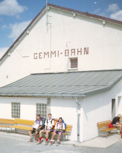
In kandersteg it is part tourist and part farmland. It has four hotels, and just to liven it up it has a very big camp site [where our scouts stayed]. But also it has 26 different kinds of orchids, which are found locally. Then we went up a cable car. We went past lots of unproductive land mostly, rocks then we went past forest, but then it was all pasture land and cows. Then we saw a cheesery higher up the mountain, we also saw parer-gliders jumping off the middle of the mountain and going right down into a landing site in kandersteg.
Land Use Around the Rhoten Rhone
Leuk is mainly a farming town. There is a river running through the town, which is called the Rhine. Around the Rhine is mainly farmland. This is flat land. As you get higher up there are vineyards. The grapes from these vineyards are used for making wine. Leuk is the biggest town that we visited. Unlike all the other towns Leuk is an agricultural town, where as Lukerbad and Kandersteg are mostly tourist towns. The crops grown around the river were things like corn, maze, etc. There were very few farm animals kept, mainly crops. This is what keeps the town. Leuk is also an industrial town more than Lukerbad and Kandersteg. Right up in the mountains are the cheeserys. They are self sufficient and often run on solar energy. They keep their own cows, which graze in the mountain pastures. When the cheese is made it is sent down to the towns using private cable car.
Lukerbad is a tourist town it has loads of hotels and even a sports centre, supermarkets, two campsites, ski lifts, cable cars, car parks, tourist information centre and loads of shops. This town very new, new houses, new blocks of flats, which were still being made.
Our campsite was next to the sports centre on one side, but on the other side was a farmer's field growing maize .You could see the two contrasts between land uses in lukerbad.
|