|
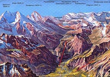
For some members of the RVU and some of the leaders, the
peaks around Kandersteg offered a substantial challenge and potential
for dreaming. During the summer camp of 2000 and with the help of Geoff
Preston and Derek Tungatt, the County Mountaineering Advisors, the RVU
decided to take up the challenge of a big peak. With this in mind many
grand plans were made. There was talk of the Bluemlisalphorn (3663m) and
then of the Balmhorn (3699m). However the weather was the controlling
factor and these peaks would have to be put on hold until another day.
|
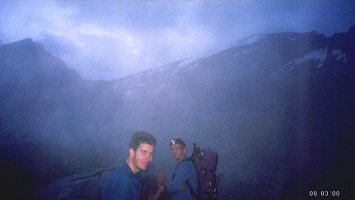
ABOVE: Early start.
|
|
 | Instead it was decided that we should climb the Rinderhorn, a neighbour
of the heighest mountain around Kandersteg, the Balmhorn. At 3453m (11222ft),
the Rinderhorn is only 600m shy of the infamous Eiger. For mountains of
this size, good weather and an early start are essential. |
|
|
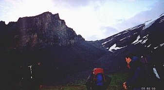
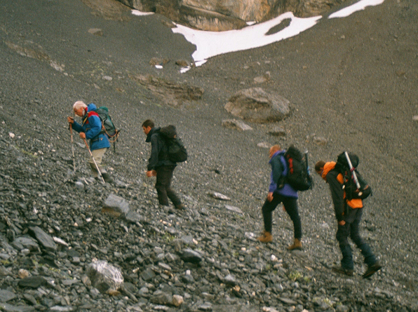
ABOVE: View of Chli
Rinderhorn on left and the path up the scree to meet the ridge.
RIGHT: The Chli Rinderhorn at first light. | 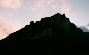 |
|
|
ABOVE: Geoff "I
may hold you up lads" Preston leading the way.

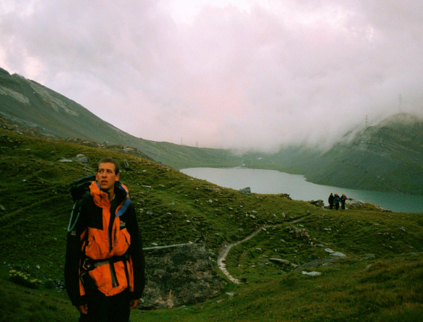
At 4am when we woke, Ross told us that the weather was
fine and that the plan was on. By the time we had finished breakfast there
was a thick fog outside. Unfazed we decided to start out anyway and if
the weather didn't improve we would be forced to turn back.
BELOW: The view up the Gemmi Pass.
|
 |
|
Luckily the
fog cleared as we embarked on the monotonus scree path up to the ridge.
Geoff informed us that he may hold us up and was convinced that he would
have to turn back to avoid him preventing us reaching the summit. Things
turned out a little differently as Geoff lead a blistering pace up the
scree. Once we reached the ridge the weather was fine. There were clouds
below us in the valley but the Rinderhorn was perfectly clear.
|
 |