|
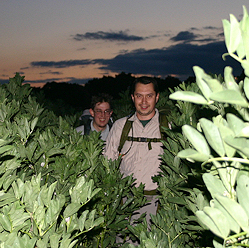
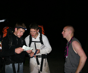
A Bit of History The Forest Boundary Hike originated in 1966 as a competition for Ilford North District’s Senior Scouts and Subsequently Venture Scouts. The hike was for teams of three, each carrying 20Lb (9Kg) pack with the route following almost exactly the ancient boundary of the ‘Hainault Division’ of the Waltham Forest as laid down in the perambulation of 1641. After three years the event lapsed until the Trophy reappeared and the event was revived in 1985. Although in a similar format the route has been somewhat changed for the sake of safety and by the 1990s is almost all along footpaths. 1989 saw the introduction of a Scout class carrying half weight (10lb) and 1991 saw the event opened to the county. The event was always held on a Friday evening nearest the longest day of the year. Scout teams started between 7:30 and 8:15pm and Venture Scout or Explorer Scout teams and Leader teams started between 8:15 and 9:00pm. The aim is to finish the 12 mile (19km) course in under 4 hours. With such a late start, teams walk most of the course in darkness which becomes particularly challenging when the route passes through Hainault Forrest. By 2003 the organisers had become fed-up with the same group winning and so decided to change the route keeping the details secret until the day. It made no difference. The record for a complete team of Venture Scouts completing the classic route was set by a team from 3rd Gidea Park in about 1994 with a time of 1 hour 52 minutes. A year or two later an individual from Romford District went even faster but regrettably, the rest of his team did not and so it didn’t count. The Ancient Forest Boundary The ancient boundary of Hainault forest seems to be as follows. Starting from the point where the A118 Romford Road crosses the River Roding in Ilford, it followed the river all the way to Curtismill Green, roughly where the M25 crosses the River. From here the Boundary headed south until Bourne Brook is reached. The boundary follows the Brook until it becomes the River Rom on the outskirts of Collier Row. Somewhere here the boundary of the forest left the river and more or less follows the modern boundary between Redbridge and Havering with a brief deviation to Whalebone Lane North. The boundary of the forest reached the A118 again where the borough boundary crosses it. The A118 forms the southern boundary of the forest. A number of boundary stones can be found and are still marked on modern OS maps. The Hike Route 1991 - 2002 The hike started at Broadmead Church, Chigewll Road which backs onto the River Roding. In later years the start moved a few hundred meters north to Woodford Green Athletics Club. The route followed footpaths, parkland and back streets as far as the Royal Mint at Debden where footpaths across farmland are taken to Abridge. From here footpaths are followed to Lambourne End (Red lights on radio mast were handy in the dark) and into Hainault Forest. The route exited the forest at the Romford Road entrance and then followed roads to Hargreaves Scout Camp Site. In 2003 a new route was used from Passingford Bridge To Chigwell Row Guide camp site. In 2004 a route from Thorndon north country park to Thriftwood via Billericay was used. In 2005 the classic route was used again and in 2006 the Passingford Bridge To Chigwell Row route was used again.
|

|
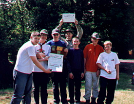
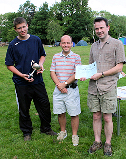
Presented to the overall fastest complete team to finish. 
Back to trophies. | ||||||||||||||||||||||||||||||||||||||||||||||||||||||||||||||||||||
|
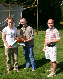
Presented to the overall fastest complete Scout team from GLNE to finish.
Back to trophies. | |||||||||||||||||||||||||||||||||||||||||||||||||||
|
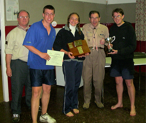
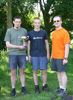
Presented to the overall fastest complete Venture Scout or Explorer Scout team to finish. 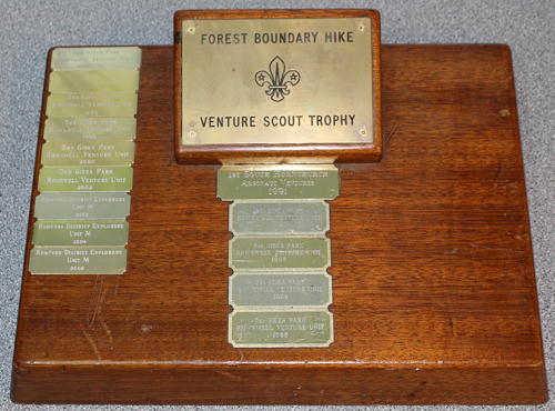
NOTE. The Rowswell Venture unit would have won in 1991 if they hadn't stopped to sulk after being told off for not using the bridge to cross the A1112 on exiting Hainault Forrest. Back to trophies. | |||||||||||||||||||||||||||||||||||||||||||||||||||
|
|